
Los Garza topographic map
Interactive map
Click on the map to display elevation.
About this map
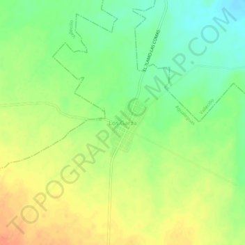
Name: Los Garza topographic map, elevation, terrain.
Location: Los Garza, Agualeguas, Nuevo León, Mexico (26.36541 -99.80144 26.40541 -99.76144)
Average elevation: 233 m
Minimum elevation: 211 m
Maximum elevation: 254 m
Other topographic maps
Click on a map to view its topography, its elevation and its terrain.
El Nogal
Mexico > Nuevo León > Agualeguas
El Nogal, Agualeguas, Nuevo León, Mexico
Average elevation: 372 m