
Knodorf topographic map
Interactive map
Click on the map to display elevation.
About this map
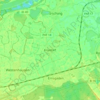
Name: Knodorf topographic map, elevation, terrain.
Average elevation: 360 m
Minimum elevation: 349 m
Maximum elevation: 370 m
Other topographic maps
Click on a map to view its topography, its elevation and its terrain.
Oberhartheim
Deutschland > Bayern > Landkreis Pfaffenhofen an der Ilm > Vohburg an der Donau
Oberhartheim, Vohburg an der Donau, Landkreis Pfaffenhofen an der Ilm, Bayern, 85088, Deutschland
Average elevation: 394 m
Pleiling
Deutschland > Bayern > Landkreis Pfaffenhofen an der Ilm > Vohburg an der Donau > Pleiling
Pleiling, Vohburg an der Donau, Landkreis Pfaffenhofen an der Ilm, Bayern, 85129, Deutschland
Average elevation: 400 m