
Rechberg topographic map
Interactive map
Click on the map to display elevation.
About this map
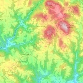
Name: Rechberg topographic map, elevation, terrain.
Location: Rechberg, Bezirk Perg, Upper Austria, 4324, Austria (48.28593 14.67842 48.33830 14.73722)
Average elevation: 539 m
Minimum elevation: 385 m
Maximum elevation: 738 m