
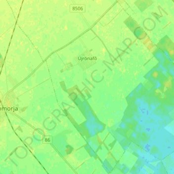
Újrónafő topographic map
Interactive map
Click on the map to display elevation.
About this map
Name: Újrónafő topographic map, elevation, terrain.
Average elevation: 116 m
Minimum elevation: 109 m
Maximum elevation: 122 m
Other topographic maps
Click on a map to view its topography, its elevation and its terrain.
Fertőrákos
Hungary > Győr-Moson-Sopron > Fertőrákos
Fertőrákos, Soproni járás, Győr-Moson-Sopron, Western Transdanubia, Transdanubia, 9421, Hungary
Average elevation: 153 m