
Make a donation
Gear up for your next adventure:
As an Amazon Associate, this site earns from qualifying purchases at no extra cost to you.
Tanah Baru topographic map
Click on the map to display elevation.
Make a donation
Gear up for your next adventure:
As an Amazon Associate, this site earns from qualifying purchases at no extra cost to you.
About this map
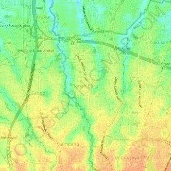
Name: Tanah Baru topographic map, elevation, terrain.
Location: Tanah Baru, Depok, West Java, 16426, Indonesia (-6.39623 106.78091 -6.35623 106.82091)
Average elevation: 77 m
Minimum elevation: 56 m
Maximum elevation: 93 m
Make a donation
Gear up for your next adventure:
As an Amazon Associate, this site earns from qualifying purchases at no extra cost to you.
Other topographic maps
Click on a map to view its topography, its elevation and its terrain.
RW 015 Kelurahan Mekarjaya, Kecamatan Sukmajaya
Indonesia > West Java > Depok > Mekar Jaya
Average elevation: 81 m
Make a donation
Gear up for your next adventure:
As an Amazon Associate, this site earns from qualifying purchases at no extra cost to you.