
Yellapur topographic map
Interactive map
Click on the map to display elevation.
About this map
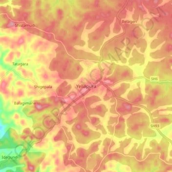
Name: Yellapur topographic map, elevation, terrain.
Average elevation: 529 m
Minimum elevation: 437 m
Maximum elevation: 576 m
Yellapur is located in the Western Ghats section of Karnataka. Yellapur is located at 14°58′N 74°43′E / 14.97°N 74.72°E / 14.97; 74.72. It has an average elevation of 541 metres (1774 feet). Yellapur has two famous natural falls, and many other hills and valleys.