Geolocate

St Fillans topographic map

Click on the map to display elevation.

About this map

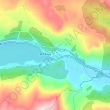
Name: St Fillans topographic map, elevation, terrain.

Location: St Fillans, Perth and Kinross, Scotland, PH6 2ND, United Kingdom (56.37230 -4.13283 56.41230 -4.09283)

Average elevation: 292 m

Minimum elevation: 82 m

Maximum elevation: 628 m

Other topographic maps

Click on a map to view its topography, its elevation and its terrain.

Gear up for your next adventure:

🥾Heavy Duty Hiking Boots - Ankle-supporting boots for carrying heavy packs on steep contours
💧Personal Water Filters - Drink safely from streams and lakes identified on your map
🏃Compression Recovery Socks - Reduce leg fatigue after heavy days of elevation gain
🎽Hiking Clothing - Breathable clothing for hiking
🕶️Polarized Outdoor Sunglasses - Reduce glare from rocks and water for better visual navigation

As an Amazon Associate, this site earns from qualifying purchases at no extra cost to you.