Páramo de Limatón topographic map
Interactive map
Click on the map to display elevation.
About this map
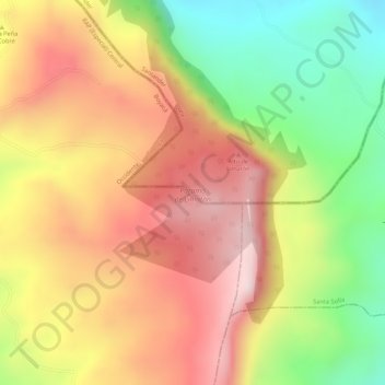
Name: Páramo de Limatón topographic map, elevation, terrain.
Average elevation: 3,295 m
Minimum elevation: 3,071 m
Maximum elevation: 3,465 m

Click on the map to display elevation.
Name: Páramo de Limatón topographic map, elevation, terrain.
Average elevation: 3,295 m
Minimum elevation: 3,071 m
Maximum elevation: 3,465 m