
Brattahlíð topographic map
Interactive map
Click on the map to display elevation.
About this map
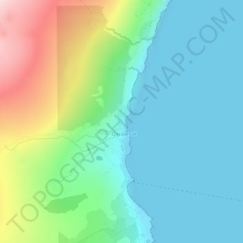
Name: Brattahlíð topographic map, elevation, terrain.
Location: Brattahlíð, Qassiarsuk, Kujalleq, Greenland (61.15577 -45.51673 61.15638 -45.51581)
Average elevation: 92 m
Minimum elevation: 0 m
Maximum elevation: 333 m