
Brooks Lake topographic map
Interactive map
Click on the map to display elevation.
About this map
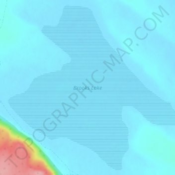
Name: Brooks Lake topographic map, elevation, terrain.
Location: Brooks Lake, Lake County, Oregon, Verenigde Staten (43.57981 -120.28010 43.60811 -120.23869)
Average elevation: 1,359 m
Minimum elevation: 1,349 m
Maximum elevation: 1,477 m