
Bel-Air topographic map
Interactive map
Click on the map to display elevation.
About this map
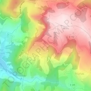
Name: Bel-Air topographic map, elevation, terrain.
Average elevation: 559 m
Minimum elevation: 359 m
Maximum elevation: 736 m
Other topographic maps
Click on a map to view its topography, its elevation and its terrain.
Montagne Saint-Maurice
France > Auvergne-Rhône-Alpes > Drôme > Truinas
Montagne Saint-Maurice, Truinas, Nyons, Drôme, Auvergne-Rhône-Alpes, France métropolitaine, 26460, France
Average elevation: 705 m