Geolocate

Green Spring topographic map

Click on the map to display elevation.

About this map

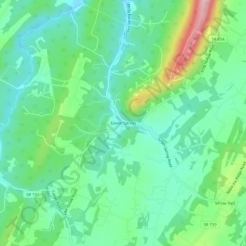
Name: Green Spring topographic map, elevation, terrain.

Location: Green Spring, Frederick County, Virginia, United States (39.28427 -78.18945 39.32427 -78.14945)

Average elevation: 245 m

Minimum elevation: 192 m

Maximum elevation: 379 m

Gear up for your next adventure:

🔑Heavy Duty Carabiners - Secure gear to the outside of your pack for easy access
📱Shockproof Phone Cases - Extra protection for your smartphone against drops on rocky terrain
🚴Cycling Backpacks - Backpacks for cyclists
👕UPF 50+ Sun Shirts - Essential protection against the harsh Australian sun during field work
Altimeter Barometer Watches - Outdoor watches with built-in sensors to track altitude changes and weather shifts

As an Amazon Associate, this site earns from qualifying purchases at no extra cost to you.