
Curuguaty topographic map
Interactive map
Click on the map to display elevation.
About this map
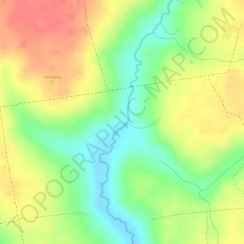
Name: Curuguaty topographic map, elevation, terrain.
Location: Curuguaty, Canindeyú, Región Oriental, Paraguay (-24.37508 -55.62510 -24.35790 -55.62007)
Average elevation: 200 m
Minimum elevation: 162 m
Maximum elevation: 233 m
Other topographic maps
Click on a map to view its topography, its elevation and its terrain.