
Keiser topographic map
Interactive map
Click on the map to display elevation.
About this map
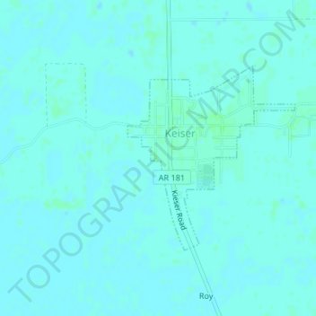
Name: Keiser topographic map, elevation, terrain.
Location: Keiser, Mississippi County, Arkansas, USA (35.66423 -90.10305 35.67995 -90.08547)
Average elevation: 70 m
Minimum elevation: 68 m
Maximum elevation: 73 m