
Parque Nacional Natural El Tuparro topographic map
Interactive map
Click on the map to display elevation.
About this map
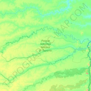
Name: Parque Nacional Natural El Tuparro topographic map, elevation, terrain.
Location: Parque Nacional Natural El Tuparro, Vichada, Colombia (4.98902 -69.19668 5.56521 -67.81896)
Average elevation: 98 m
Minimum elevation: 53 m
Maximum elevation: 326 m
Other topographic maps
Click on a map to view its topography, its elevation and its terrain.