
Grenoble topographic map
Interactive map
Click on the map to display elevation.
About this map
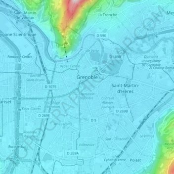
Name: Grenoble topographic map, elevation, terrain.
Average elevation: 246 m
Minimum elevation: 204 m
Maximum elevation: 897 m
Other topographic maps
Click on a map to view its topography, its elevation and its terrain.
Secteur 2
Frankreich > Auvergne-Rhone-Alpen > Grenoble
Secteur 2, Grenoble, Isère, Auvergne-Rhone-Alpen, Metropolitanes Frankreich, 38000, Frankreich
Average elevation: 245 m