
Rougemont topographic map
Interactive map
Click on the map to display elevation.
About this map
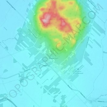
Name: Rougemont topographic map, elevation, terrain.
Location: Rougemont, Rouville, Montérégie, Quebec, J0L 1M0, Canadá (45.40992 -73.11986 45.49168 -73.00676)
Average elevation: 76 m
Minimum elevation: 30 m
Maximum elevation: 380 m