
Eatontown topographic map
Interactive map
Click on the map to display elevation.
About this map
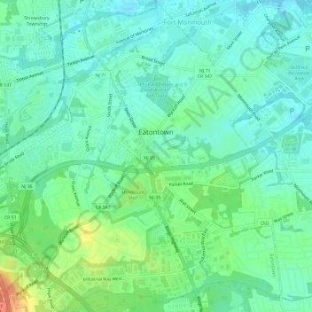
Name: Eatontown topographic map, elevation, terrain.
Location: Eatontown, Monmouth County, New Jersey, United States (40.27066 -74.08062 40.31499 -74.02762)
Average elevation: 14 m
Minimum elevation: -1 m
Maximum elevation: 47 m
Other topographic maps
Click on a map to view its topography, its elevation and its terrain.
Clarks Mills
United States > New Jersey > Monmouth County > Manalapan Township
Average elevation: 26 m
Bradley Park
United States > New Jersey > Monmouth County > Neptune > Bradley Park
Average elevation: 7 m