
Thị xã Phú Thọ topographic map
Interactive map
Click on the map to display elevation.
About this map
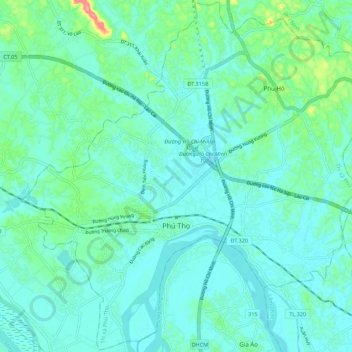
Name: Thị xã Phú Thọ topographic map, elevation, terrain.
Location: Thị xã Phú Thọ, Province de Phú Thọ, Viêt Nam (21.36397 105.17569 21.46469 105.28494)
Average elevation: 30 m
Minimum elevation: 12 m
Maximum elevation: 112 m