
Ngounié topographic map
Interactive map
Click on the map to display elevation.
About this map
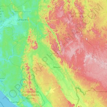
Name: Ngounié topographic map, elevation, terrain.
Location: Ngounié, Gabon (-2.74477 9.88203 -0.37611 12.51719)
Average elevation: 281 m
Minimum elevation: 0 m
Maximum elevation: 1,001 m