
Thank you for supporting this site ❤️
Make a donation
Make a donation
Gear up for your next adventure:
As an Amazon Associate, this site earns from qualifying purchases at no extra cost to you.
Benta topographic map
Click on the map to display elevation.
Thank you for supporting this site ❤️
Make a donation
Make a donation
Gear up for your next adventure:
As an Amazon Associate, this site earns from qualifying purchases at no extra cost to you.
About this map
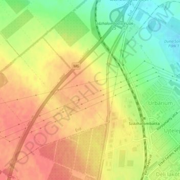
Name: Benta topographic map, elevation, terrain.
Location: Benta, Érd, Érdi járás, Pest, Central Hungary, 2030, Hungary (47.31682 18.87736 47.33682 18.89736)
Average elevation: 132 m
Minimum elevation: 98 m
Maximum elevation: 156 m
Thank you for supporting this site ❤️
Make a donation
Make a donation
Gear up for your next adventure:
As an Amazon Associate, this site earns from qualifying purchases at no extra cost to you.