
鹿港鎮 topographic map
Interactive map
Click on the map to display elevation.
About this map
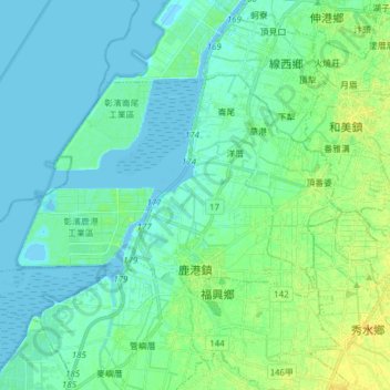
Name: 鹿港鎮 topographic map, elevation, terrain.
Location: 鹿港鎮, Comté de Changhua, Province de Taïwan, Taïwan (24.04012 120.36545 24.12656 120.49279)
Average elevation: 5 m
Minimum elevation: -4 m
Maximum elevation: 17 m