Geolocate

Cold Lake topographic map

Click on the map to display elevation.

About this map

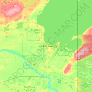
Name: Cold Lake topographic map, elevation, terrain.

Location: Cold Lake, City of Cold Lake, Alberta, T9M 0L6, Canada (54.30046 -110.35287 54.62046 -110.03287)

Average elevation: 550 m

Minimum elevation: 495 m

Maximum elevation: 677 m

Gear up for your next adventure:

🧭Military Style Lensatic Compass - Durable sighting compasses for advanced land navigation and surveying
🪢550 Survival Paracord - Versatile cordage for gear repair and emergency lashing
🍳Camping Cookware - Cookware sets for outdoor meals
🎒Dry Bags - Waterproof bags for outdoor gear
👣Snake & Scrub Gaiters - Protection against spinifex, mud, and snakes while walking off-track

As an Amazon Associate, this site earns from qualifying purchases at no extra cost to you.