
Samarinda topographic map
Interactive map
Click on the map to display elevation.
About this map
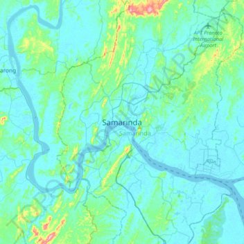
Name: Samarinda topographic map, elevation, terrain.
Location: Samarinda, East Kalimantan, 75129, Indonesia (-0.66178 116.97931 -0.34178 117.29931)
Average elevation: 25 m
Minimum elevation: -3 m
Maximum elevation: 223 m