
El Chaguete topographic map
Interactive map
Click on the map to display elevation.
About this map
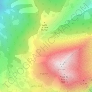
Name: El Chaguete topographic map, elevation, terrain.
Location: El Chaguete, QU-4, Quirós, Asturias, 33116, España (43.07497 -5.94678 43.07525 -5.94624)
Average elevation: 1,569 m
Minimum elevation: 1,014 m
Maximum elevation: 2,147 m