
Davula topographic map
Interactive map
Click on the map to display elevation.
About this map
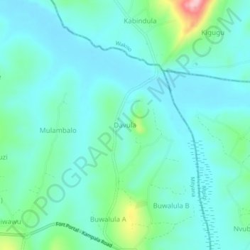
Name: Davula topographic map, elevation, terrain.
Location: Davula, Mityana, Central Region, Uganda (0.37991 32.22757 0.41991 32.26757)
Average elevation: 1,152 m
Minimum elevation: 1,115 m
Maximum elevation: 1,309 m
Other topographic maps
Click on a map to view its topography, its elevation and its terrain.