
Lier topographic map
Interactive map
Click on the map to display elevation.
About this map
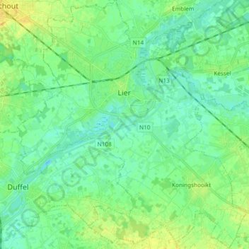
Name: Lier topographic map, elevation, terrain.
Location: Lier, Mechelen, Antwerp, Flanders, 2500, Belgium (51.07267 4.50585 51.16578 4.64306)
Average elevation: 8 m
Minimum elevation: -2 m
Maximum elevation: 21 m