
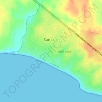
San Luis topographic map
Interactive map
Click on the map to display elevation.
About this map
Name: San Luis topographic map, elevation, terrain.
Location: San Luis, Canelones, 16300, Uruguay (-34.78409 -55.60401 -34.75795 -55.56864)
Average elevation: 15 m
Minimum elevation: 0 m
Maximum elevation: 42 m