
Westbury topographic map
Interactive map
Click on the map to display elevation.
About this map
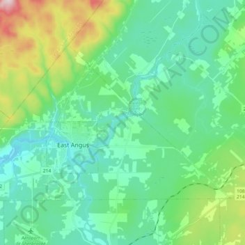
Name: Westbury topographic map, elevation, terrain.
Location: Westbury, Le Haut-Saint-François, Estrie, Québec, Canada (45.45426 -71.72326 45.53387 -71.54521)
Average elevation: 262 m
Minimum elevation: 165 m
Maximum elevation: 596 m