
Catanga topographic map
Interactive map
Click on the map to display elevation.
About this map
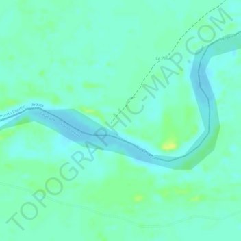
Name: Catanga topographic map, elevation, terrain.
Location: Catanga, Puerto Rondón, Arauca, Colômbia (6.25465 -71.14618 6.27465 -71.12618)
Average elevation: 141 m
Minimum elevation: 134 m
Maximum elevation: 152 m