
Ollomont topographic map
Interactive map
Click on the map to display elevation.
About this map
Name: Ollomont topographic map, elevation, terrain.
Average elevation: 376 m
Minimum elevation: 241 m
Maximum elevation: 479 m
Other topographic maps
Click on a map to view its topography, its elevation and its terrain.
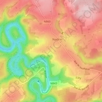
Houffalize
België > Luxemburg > Bastenaken > Houffalize
Houffalize, Bastenaken, Luxemburg, Wallonië, België
Average elevation: 405 m
Alhoumont
België > Luxemburg > Bastenaken > Houffalize > Alhoumont
Alhoumont, Tavigny, Houffalize, Bastenaken, Luxemburg, Wallonië, België
Average elevation: 426 m