
Mamarongo topographic map
Interactive map
Click on the map to display elevation.
About this map
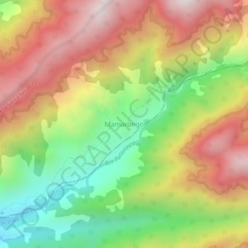
Name: Mamarongo topographic map, elevation, terrain.
Location: Mamarongo, Magdalena, Colombia (10.74312 -73.91192 10.78312 -73.87192)
Average elevation: 1,806 m
Minimum elevation: 1,250 m
Maximum elevation: 2,377 m