
南关厢历史文化街区 topographic map
Interactive map
Click on the map to display elevation.
About this map
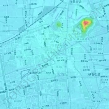
Name: 南关厢历史文化街区 topographic map, elevation, terrain.
Location: 南关厢历史文化街区, 海宁市, 嘉兴市, 浙江省, 314400, 中国 (30.50319 120.66703 30.54319 120.70703)
Average elevation: 7 m
Minimum elevation: 3 m
Maximum elevation: 74 m
Other topographic maps
Click on a map to view its topography, its elevation and its terrain.