
Starbuck topographic map
Interactive map
Click on the map to display elevation.
About this map
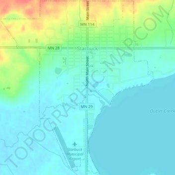
Name: Starbuck topographic map, elevation, terrain.
Location: Starbuck, Pope County, Minnesota, United States (45.59501 -95.55052 45.62177 -95.51659)
Average elevation: 358 m
Minimum elevation: 344 m
Maximum elevation: 401 m