Geolocate

Caut topographic map

Click on the map to display elevation.

About this map

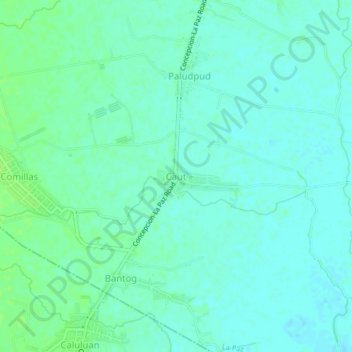
Name: Caut topographic map, elevation, terrain.

Location: Caut, Tarlac, Central Luzon, Philippines (15.37903 120.69880 15.41903 120.73880)

Average elevation: 17 m

Minimum elevation: 13 m

Maximum elevation: 23 m

Gear up for your next adventure:

👄SPF Lip Balm - Prevent sun and wind-burnt lips on mountain ridges
🦶Orthotic Hiking Insoles - Extra arch support for long-distance topographic treks
🛰️Handheld GPS Units - Rugged GPS devices for tracking coordinates and elevation in the Australian bush
🔪Outdoor Multi-tools - Versatile tools for gear repair and survival tasks in the wilderness
🦯Trekking Poles - Walking poles for hiking stability

As an Amazon Associate, this site earns from qualifying purchases at no extra cost to you.