
Habighorst topographic map
Interactive map
Click on the map to display elevation.
About this map
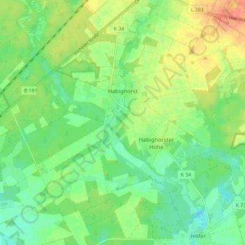
Name: Habighorst topographic map, elevation, terrain.
Average elevation: 69 m
Minimum elevation: 52 m
Maximum elevation: 93 m
Das Siedlungsgebiet Habighorster Höhe liegt, durch einige landwirtschaftliche Flächen getrennt, in etwa 600 Meter Entfernung südöstlich von Habighorst und ist über die Kreisstraße K34 angebunden.