
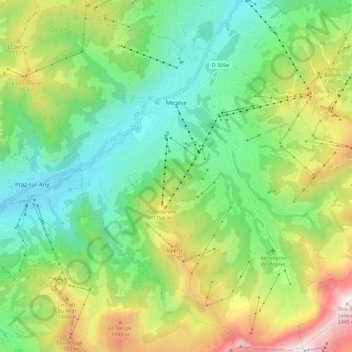
Megève topographic map
Interactive map
Click on the map to display elevation.
About this map
Name: Megève topographic map, elevation, terrain.
Average elevation: 1,499 m
Minimum elevation: 999 m
Maximum elevation: 2,455 m
Neben Megève selbst umfasst das Skigebiet die Orte Combloux und Côte 2000. Es reicht bis auf eine Höhe von 2.350 Metern. Megève unterhält eine Städtepartnerschaft mit Oberstdorf im Allgäu.