
La Unión topographic map
Interactive map
Click on the map to display elevation.
About this map
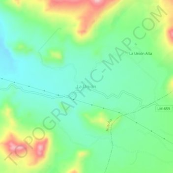
Name: La Unión topographic map, elevation, terrain.
Location: La Unión, Huaura, Lima, Pérou (-11.21420 -77.46833 -11.17420 -77.42833)
Average elevation: 322 m
Minimum elevation: 249 m
Maximum elevation: 474 m