
Grotta topographic map
Interactive map
Click on the map to display elevation.
About this map
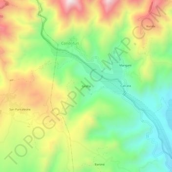
Name: Grotta topographic map, elevation, terrain.
Location: Grotta, Condofuri, Reggio di Calabria, Kalabrien, Italien (37.97466 15.84216 38.01466 15.88216)
Average elevation: 430 m
Minimum elevation: 111 m
Maximum elevation: 866 m