
Ellezelles topographic map
Interactive map
Click on the map to display elevation.
About this map
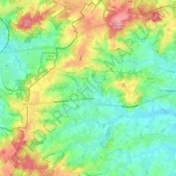
Name: Ellezelles topographic map, elevation, terrain.
Location: Ellezelles, Ath, Hainaut, Wallonie, 7890, Belgique (50.70300 3.63807 50.77348 3.70696)
Average elevation: 78 m
Minimum elevation: 29 m
Maximum elevation: 161 m