
Fort Wayne topographic map
Click on the map to display elevation.
Fort Wayne
Pioneer newspaperman George W. Wood was elected the city's first mayor. Fort Wayne's "Summit City" nickname dates from this period, referring to the city's position at the highest elevation along the canal's route. As influential as the canal was to the city's earliest development, it quickly became obsolete after briefly competing with the city's first railroad, the Pittsburgh, Fort Wayne and Chicago Railway, completed in 1854.
About this map
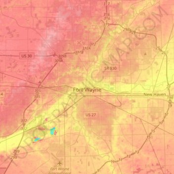
Name: Fort Wayne topographic map, elevation, terrain.
Location: Fort Wayne, Allen County, Indiana, United States (40.96510 -85.30348 41.20052 -85.00073)
Average elevation: 246 m
Minimum elevation: 182 m
Maximum elevation: 279 m