
Victoria Falls topographic map
Interactive map
Click on the map to display elevation.
About this map
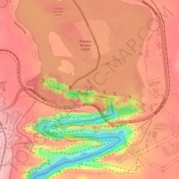
Name: Victoria Falls topographic map, elevation, terrain.
Average elevation: 875 m
Minimum elevation: 758 m
Maximum elevation: 917 m
Other topographic maps
Click on a map to view its topography, its elevation and its terrain.
Victoria Falls
Zambia > Southern Province > Livingstone
Victoria Falls, Livingstone, Southern Province, Zambia
Average elevation: 875 m
Livingstone
Zambia > Southern Province > Livingstone
Livingstone, Livingstone District, Southern Province, Zambia
Average elevation: 961 m