
Hognée topographic map
Interactive map
Click on the map to display elevation.
About this map
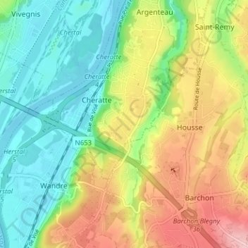
Name: Hognée topographic map, elevation, terrain.
Location: Hognée, Cheratte, Visé, Liège, Wallonie, 4600, Belgique (50.66015 5.65779 50.70015 5.69779)
Average elevation: 119 m
Minimum elevation: 53 m
Maximum elevation: 220 m