
Ashland topographic map
Interactive map
Click on the map to display elevation.
About this map
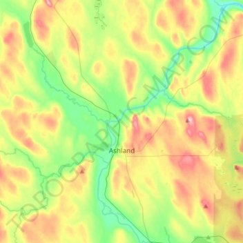
Name: Ashland topographic map, elevation, terrain.
Location: Ashland, Aroostook County, Maine, United States (46.56121 -68.44013 46.74525 -68.30040)
Average elevation: 210 m
Minimum elevation: 142 m
Maximum elevation: 307 m