
Pine Island topographic map
Interactive map
Click on the map to display elevation.
About this map
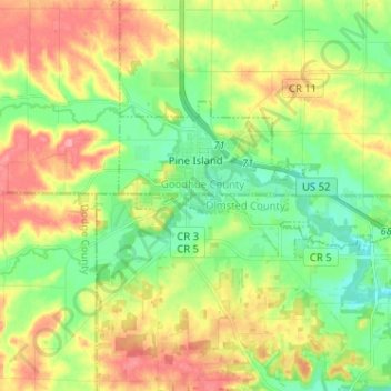
Name: Pine Island topographic map, elevation, terrain.
Location: Pine Island, Goodhue County, Minnesota, United States (44.17309 -92.67138 44.21720 -92.54342)
Average elevation: 327 m
Minimum elevation: 291 m
Maximum elevation: 377 m