
Aguaray topographic map
Interactive map
Click on the map to display elevation.
About this map
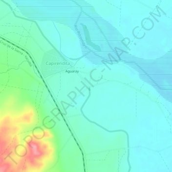
Name: Aguaray topographic map, elevation, terrain.
Location: Aguaray, Provincia Gran Chaco, Tarija, Bolivia (-21.32404 -63.45076 -21.28404 -63.41076)
Average elevation: 380 m
Minimum elevation: 359 m
Maximum elevation: 465 m