
Kamusenene topographic map
Interactive map
Click on the map to display elevation.
About this map
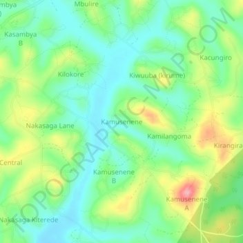
Name: Kamusenene topographic map, elevation, terrain.
Location: Kamusenene, Mubende, Central Region, Uganda (0.34667 31.23000 0.38667 31.27000)
Average elevation: 1,238 m
Minimum elevation: 1,194 m
Maximum elevation: 1,320 m
Other topographic maps
Click on a map to view its topography, its elevation and its terrain.