
Dongola topographic map
Interactive map
Click on the map to display elevation.
About this map
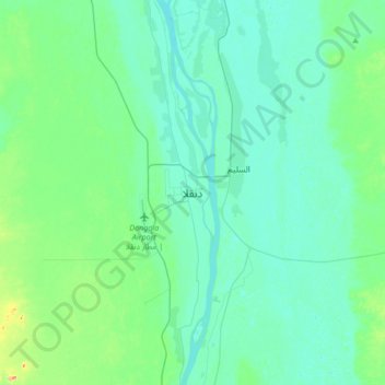
Name: Dongola topographic map, elevation, terrain.
Location: Dongola, الولاية الشمالية, Sudan (19.01285 30.31316 19.33285 30.63316)
Average elevation: 236 m
Minimum elevation: 219 m
Maximum elevation: 330 m