
Barwon Bluff Marine Sanctuary topographic map
Interactive map
Click on the map to display elevation.
About this map
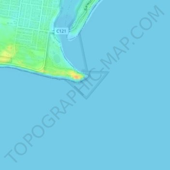
Name: Barwon Bluff Marine Sanctuary topographic map, elevation, terrain.
Average elevation: 2 m
Minimum elevation: -1 m
Maximum elevation: 29 m
Other topographic maps
Click on a map to view its topography, its elevation and its terrain.
Murtnaghurt Lagoon
Australia > Victoria > Barwon Heads
Murtnaghurt Lagoon, Lings Road, Connewarre, Barwon Heads, City of Greater Geelong, Barwon South West, Victoria, 3227, Australia
Average elevation: 5 m