
Freiwaldau topographic map
Interactive map
Click on the map to display elevation.
About this map
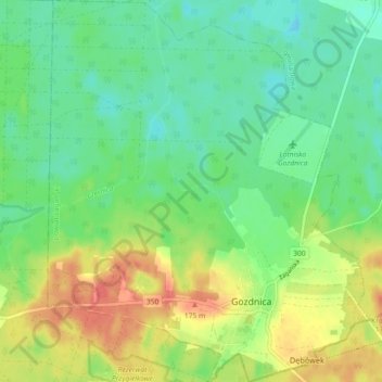
Name: Freiwaldau topographic map, elevation, terrain.
Location: Freiwaldau, powiat żagański, Woiwodschaft Lebus, 68-130, Polen (51.42539 15.04732 51.48196 15.12407)
Average elevation: 148 m
Minimum elevation: 127 m
Maximum elevation: 182 m